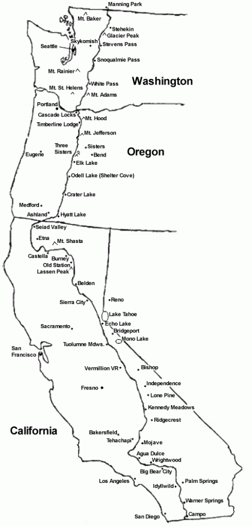
 At this time I expect to leave the Sisters, OR area in early July and head south. My aim is to make it to Big Bear Lake and then head east, more or less improvising a route to the White Horse Ranch.
For various work-related reasons I don’t anticipate taking leave of my job until early June. This makes a northbound journey impractical, as I would face the increasing likelihood of cold and rainy weather with each passing day. Sooner or later snow would make passage impossible and my journey would end on the rather unspectacular day in which I was stuck in a snow drift.
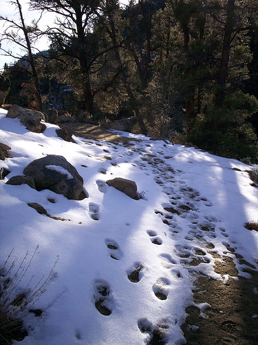
On the other hand, heading south I will hopefully experience pleasant weather. The passage of the season should be somewhat offset by my progress towards southerly climes. I have a general target of reaching Kennedy Meadows by Oct 1st, as I’ve read that one must exit the Sierras by October or risk heavy snows.
Thus I have an equation in which I start in early July and must reach Kennedy Meadows by Oct 1st. If I can accurately estimate my rate of travel I can solve for the final variable: where to start.
Rate of Travel
So far I have made a test hike up a local peak. I feel this was a rather limited test and I shouldn’t base such a crucial calculation on such a brief hike. Nevertheless, this is what I have to go on until I conduct a lengthier trial.
Walking on a level surface I can cover 3 mph. According to my DeLorme Topo USA program the trail is 1.5 miles with a gross altitude gain of 1425 feet. I covered this in 45 minutes. This could be interpreted in several ways:
| 1.5mi | 1425ft gain | .75hrs | ||
| 2mi | 1900ft gain | 1hr | ||
| 3mi | 2850ft gain | 1.5hrs | OR | |
| 3mph | +30min extra per 2850ft gain | |||
Upon second evaluation, these figures seem greatly overstated. This is based upon 45 minutes of exertion, not 6 hours of plodding over rough terrain with a mule in tow. Nevertheless, it’s all I have to go on right now, so let’s proceed to the determination of my starting point.
Starting Point
Here is a table listing approximate arrival dates at Kennedy Meadows and Big Bear Lake, given a set starting point. The variables are rate of travel, how much time I spend hiking each day, and how much time is lost climbing in altitude. I used Craig’s PCT Planner to arrive at these figures, however I spot checked them using the mileage data in the Wilderness Press PCT Guides and it seems to be accurate.
| STARTING POINT/DATE | MPH | HRS HIKING | DELAY/1000 FT GAIN | KENNEDY MEADOWS | BIG BEAR | MI/DAY | DAYS |
| OR/WA Border 7/1 | 3 | 6 | 15min/1000ft | 9/29 | 10/26 | 15 | 108 |
| OR/WA Border 7/1 | 2.5 | 6 | 30min/1000ft | 10/23 | 11/25 | 12 | 148 |
| OR/WA Border 7/1 | 2.5 | 7 | 30min/1000ft | 10/7 | 11/4 | 15 | 127 |
| OR/WA Border 7/1 | 2 | 6 | 15min/1000ft | 11/9 | 12/17 | 11 | 170 |
| OR/WA Border 6/1 | 2 | 6 | 15min/1000ft | 10/10 | 11/17 | 11 | 140 |
| Crater Lake OR 7/1 | 2 | 6 | 15min/1000ft | 10/10 | 11/17 | 11 | 140 |
| Gov’t Camp OR 7/1 | 2.5 | 7 | 30min/1000ft | 9/25 | 10/23 | 15 | 105 |
| OR/WA Border 6/15 | 2 | 6 | 30min/1000ft | 10/6 | 11/8 | 12 | 131 |
Anything that gets me to Kennedy Meadows in early October is a viable option. Based on this table I should shoot for 13 miles per day. I can also now plan my supplies around an approximately 140 day expedition.
I may try and buy myself a week or two by taking the middle way of starting in Sisters, OR. This would allow me some flexibility in rate of travel—I have zero interest in feeling rushed. Sisters is also about the closest point on the PCT to my childhood home which adds a certain meaning to starting there.
(In fact, I haven’t ruled out starting from that home and first walking to the PCT before heading south. It might then be possible to head from Big Bear Lake to my current home in Southern California. Walking the distance between these points would provide a satisfying purpose to the journey—substituting for the lack of a border to border trek.)
Ending Point
My plan is to finish the journey at the White Horse Ranch. 
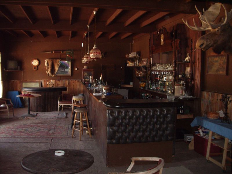
It is owned and operated by a dear friend of mine, and I have spent many nights sidled up to the bar, the saloon piano or the poker table. I can think of few more satisfying things for a ragged and starved mountain man than the day he walks into town, tethers his mule, and orders a much longed-for shot of whiskey at the bar. Perhaps a whole bottle to take to the hot basin of water waiting in the hotel upstairs. Having a place like this is a true blessing in my life and I would be a fool not to make use of such a rare gem.
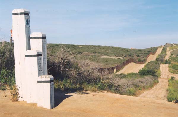
Having spent so much time camping and hiking in Southern California, I admit the thought of continuing on from Palm Springs to Mexico holds considerably less appeal than following the crest of the High Sierra. In light of my decision not to press border to border there is no meaningful impetus to walk all the way to Campos. The White Horse seems to be a mere three day walk from Big Bear, and I feel it will bring a satisfying conclusion to the journey. If however, when I reach Big Bear Lake, the freedom of the trail and beauty of the night skies are too precious to abandon, there will be nothing to prevent me to continue on as far south as I aim. By that time temperatures should be mild, and depending on the rainfall, water may be more plentiful.
Mexico to Canada
Pretty early on it became clear to me that traversing the length of the PCT, from Mexico to Canada, would be nearly impossible in one season with an equine. It has been done to be sure, though possibly only by riders. Given my start date in June/July, travelling southbound from Manning Park would be the only option. Based on some first hand photos I have seen, I have reason to believe that much of that route would be impassable to an equine–especially one led by a novice—until late in the season when most of the snow is gone. Getting a start that late would likewise make the tail end of the Sierra nearly impassable unless I made great haste. Therefore, I must resign myself to the considerably less impressive feat of traveling from Sisters, OR to Landers, CA.
Freeing myself of the imperative to go border to border is likely a blessing. It has forced me to be realistic about what I might accomplish and prepare for the probability that things will not go as according to planned. At this point I am at peace with where the trail will lead me. I need to be prepared to only make it a few miles a day; to be unattached to a destination or final outcome. I hope that such unattachment and peace remain palpable as my departure date looms, and the size of my financial, logistical and emotional investments balloon.


Sounds like a great experience. You got balls partner.
I am thru hiking from Mexico to Cananda this year. I hope to meet you on the trail! I currently live at the Painted Moon Ranch in the Santa Cruz Mtns of CA. The Ranch owner just recently asked me if anyone was bringing stock along this year. I can tell her now.. Indeed they are! I think you are in for a Fine Journey. I am trying to imagine you and your mule climbing the trail up and over the Sierra passes.. That is sure gonna make for some surprised thru-hikers when they run into you! Follow your Bliss my friend and more power to You!
Very cool cousin! I envy you. Do all you can before you guys have children. You remember I was born in Big Bear Lake right!! If I can help with anything let me know, we expect pictures!!
Thanks for the encouragement!!! I’ll look forward to crossing you on the trail.
Bronze, you will need at least a coggins for your mule crossing state lines. they will also want a current health cert. get one from your vet when you leave and explain to those who care why it is outdated. health certs are only good for 30 days. coggins, 6 months to a year. this should only be an issue if you go through an ag check point in Calif. on your way south. but it is a law. Bob
I can hardly wait for the day you will arrive at the Whitehorseranch.It will be one of the greatest parties we ever had(and you know what that means) Good luck from all of us here at the ranch.
Pete
I trust you will open carry unloaded with loaded mag on belt a 1911 Colt or similar in case of bush whackers or the 500lb rogue black bear intent on pulling you out of your roll in the middle of the night. Had an experience were the firearm saved me grief on two occasion, once in river bed off Devils Postpile in Angeles Crest Forest and once at the campsite Onion Valley. Remember, totally legal to open carry unloaded with loaded mag on side. Enjoy.
This is such an awesome adventure. I could have got a little production crew together to do a pbs special!